FOR CRE BROKERS & INVESTORS
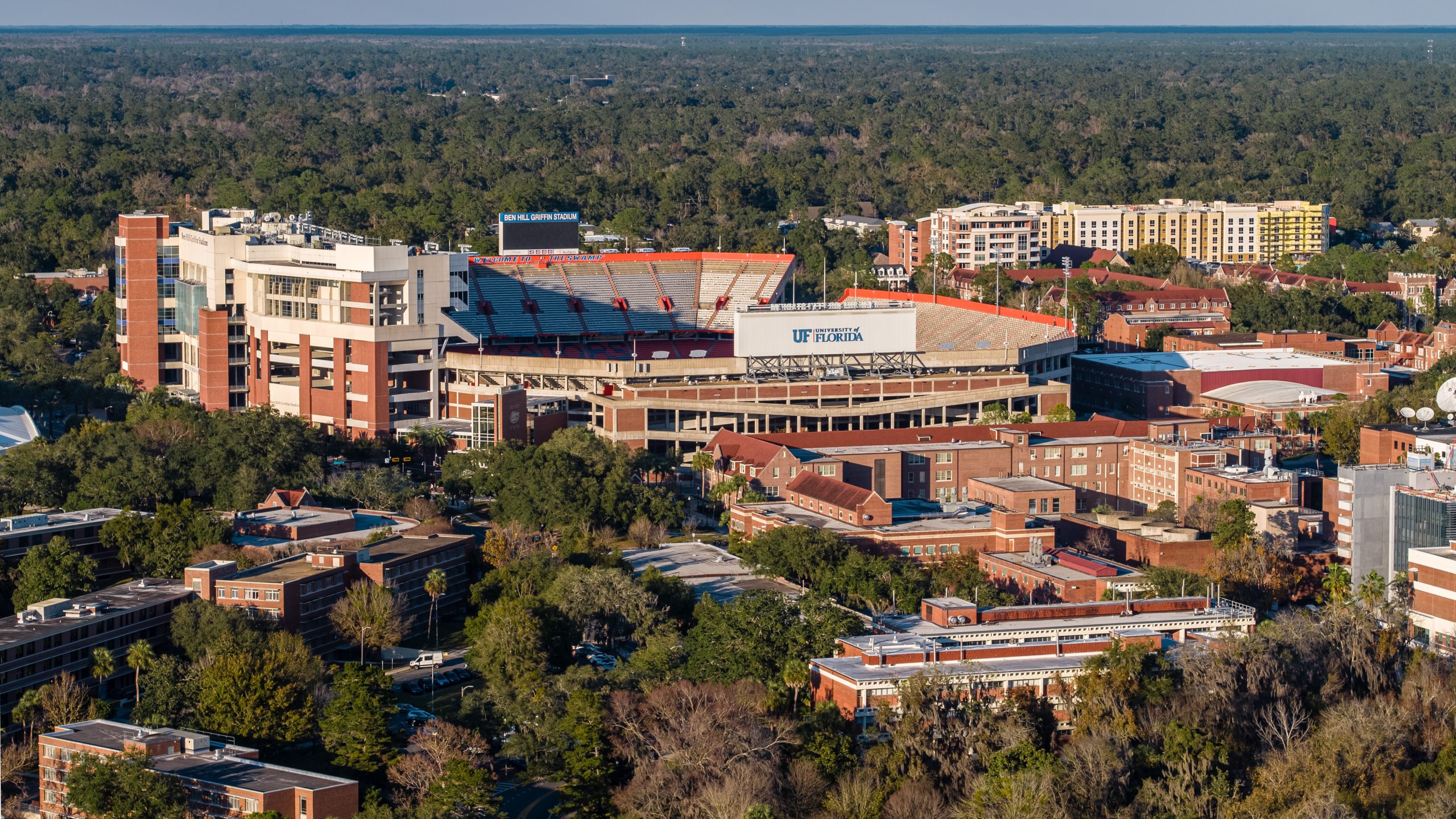
Commercial Real Estate Drone Photography in Gainesville, FL
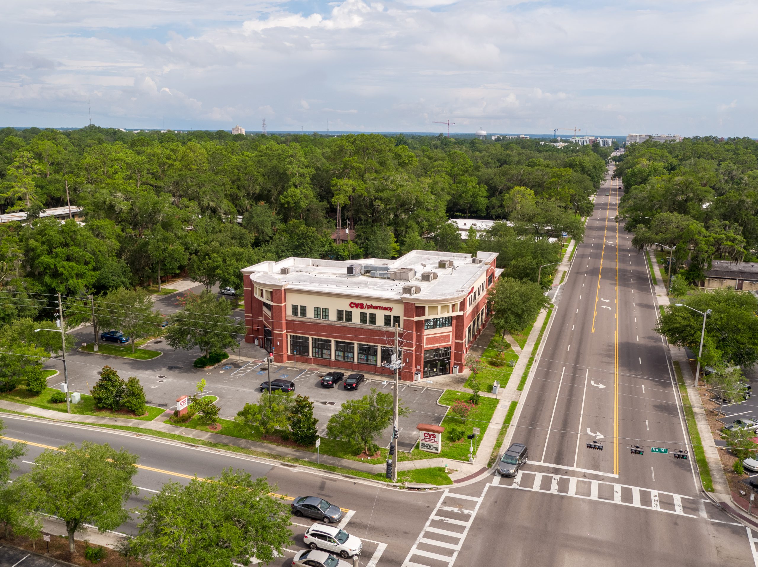
You need listing photos that stop the scroll on CoStar and make investors pick up the phone. Ground-level photography can't show site context, traffic patterns, or surrounding amenities the way aerial can.
403%
More Inquiries
Same-Week
Turnaround Time
5+
Gainesville Corridors Mapped