Aerial drone photography of Gainesville Florida showing commercial property from above
FAA Part 107 Certified & Fully Insured

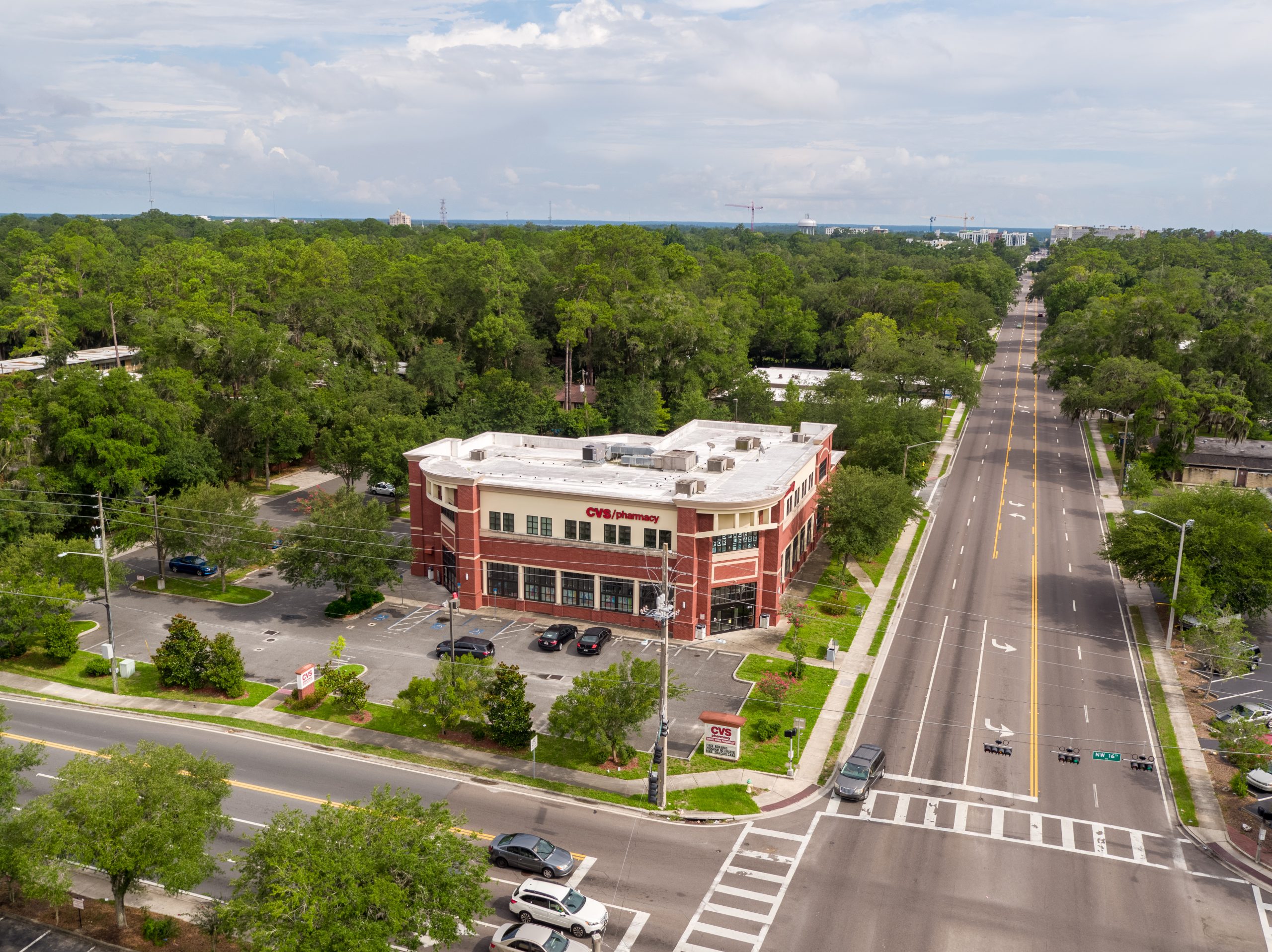
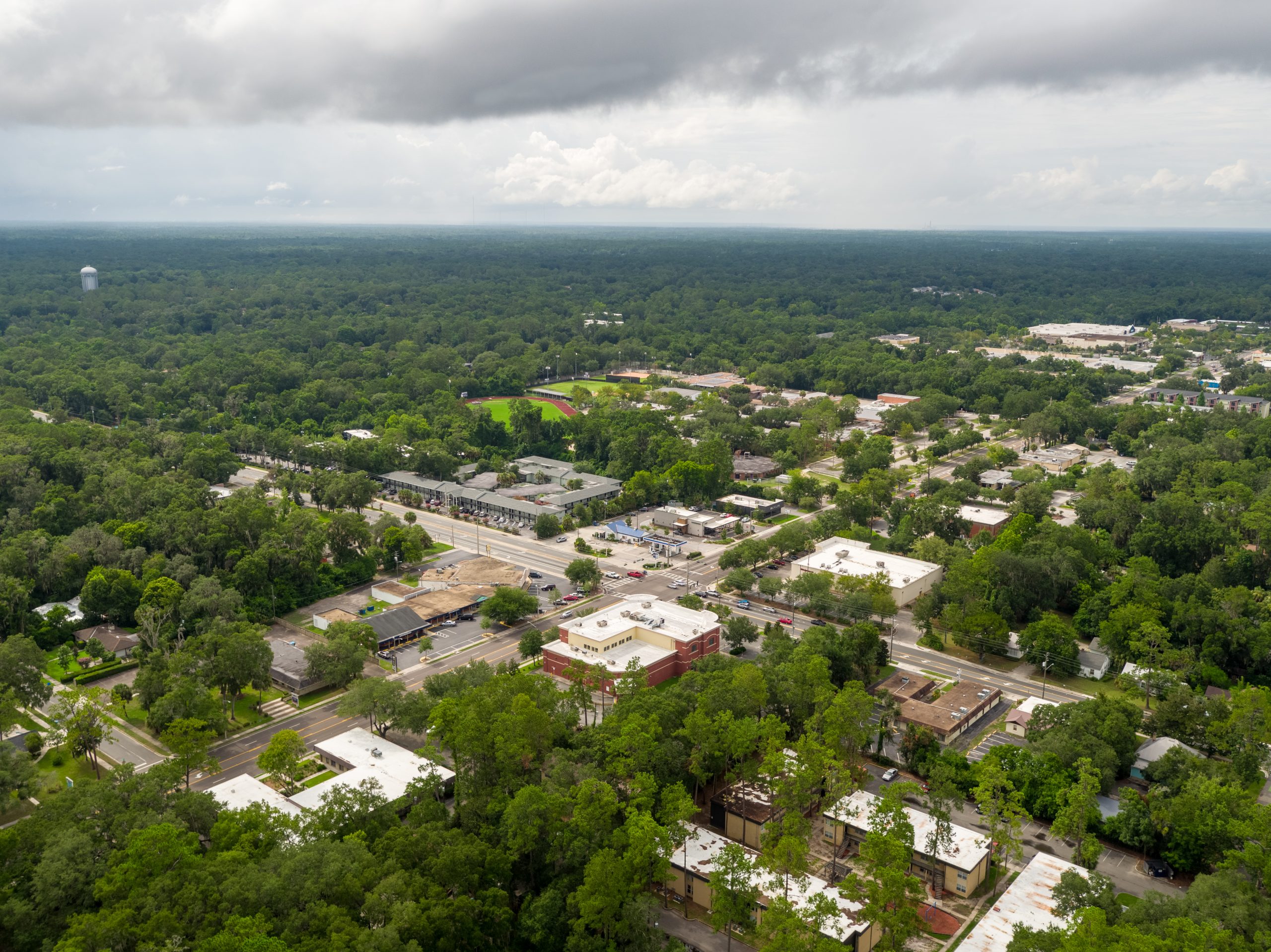
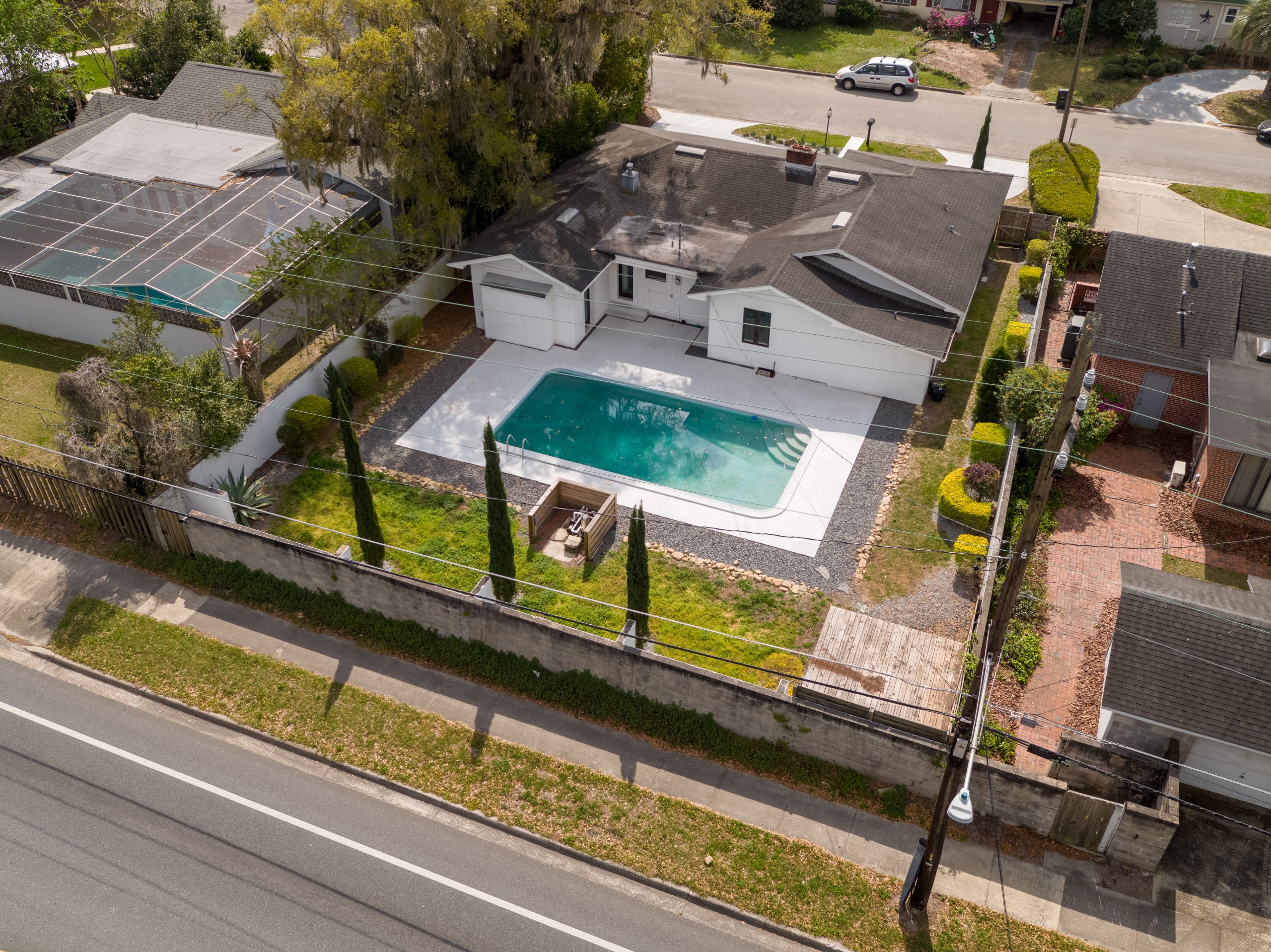
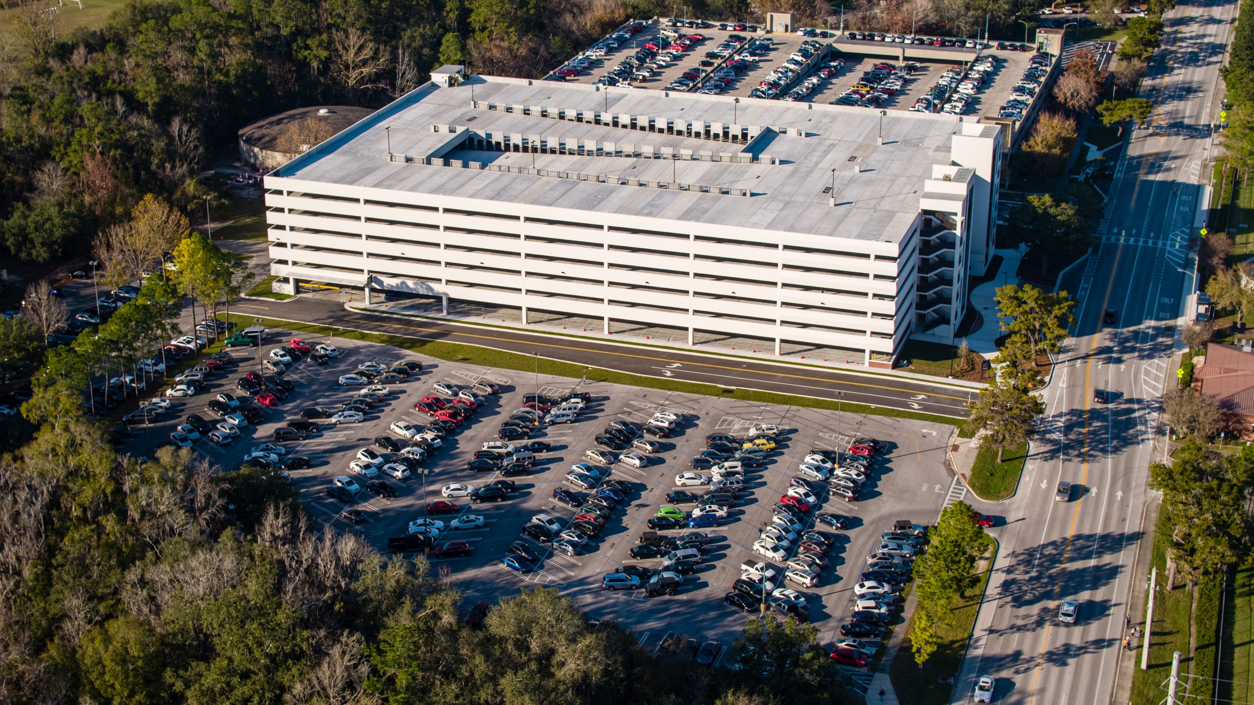
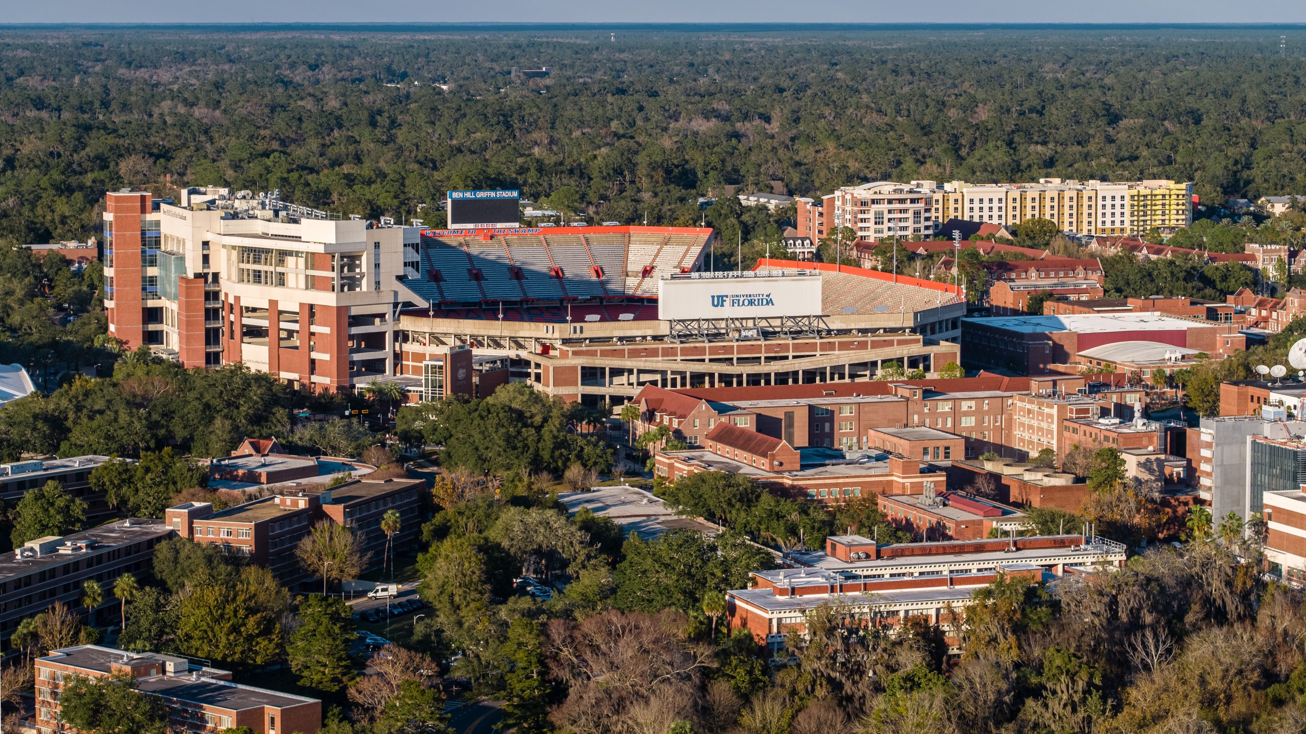
Premium Drone Photography & Video for Gainesville, FL

We deliver high-resolution aerial imagery and cinematic 4K video that helps Gainesville's commercial real estate brokers close listings faster, construction firms keep projects on track, and property owners attract higher-quality tenants.

25MP
Standard (100MP Avail.)
4K
Video (6K Available)
36hrs
Photo Delivery
5★
Client Rating
FAA Part 107 Licensed
$2M Liability Insured
Satisfaction Guaranteed
36-Hour Photo Delivery
DJI Mavic 4 Pro

Drone Services Built for Gainesville Businesses

From commercial real estate aerials to construction progress monitoring, we deliver aerial content that drives real business outcomes.

01

Aerial Photography

Eliminate the cost and scheduling hassle of helicopter shoots — get the same dramatic angles at a fraction of the price. Our Hasselblad-powered DJI Mavic 4 Pro captures 25MP images standard (100MP on request) that are formatted and sized for MLS, CoStar, LoopNet, and offering memorandums without you needing to crop or resize anything.

  • 25MP standard; 100MP Hasselblad mode on request
  • Formatted for listing brochures, investor decks, and social media
  • Professional color grading and editing included
  • 36-hour standard delivery; rush available
Learn More
02

Drone Videography

Video listings get 403% more inquiries than listings without video. Our cinematic 4K drone video (6K and vertical formats on request) gives you broadcast-ready footage engineered to convert viewers into buyers — content you'll still be using a year from now across every marketing channel.

  • Branded property tour, social media cut-downs (15s, 30s, 60s), and raw footage
  • 10-bit D-Log color for cinematic post-production
  • Professional editing, music licensing, and color grading
  • 5-day standard delivery; rush available
Learn More
03

Commercial Real Estate Aerials

Purpose-built for CRE brokers and investment firms. Our aerial context shots help site-selection clients understand traffic patterns, ingress/egress, and surrounding land use — the actual decision factors for CRE investors. Deliverables optimized for CoStar, LoopNet, Crexi, and offering memorandums. Full confidentiality for off-market deals.

  • Listing-ready hero images and bird's-eye site plans
  • Context shots: access, adjacencies, traffic corridors, and amenities
  • LoopNet-optimized dimensions and CoStar-ready uploads
  • Same-week turnaround for time-sensitive listings
Learn More
04

Construction Progress Monitoring

Your investors want to see progress. Your lender wants documentation. Your PM wants to catch problems before they cost six figures. Recurring drone flyovers give all three what they need — plus aerial documentation that protects against disputes, supports permit compliance, and creates a permanent visual record of every phase.

  • Weekly, bi-weekly, or monthly flyover schedules
  • Consistent flight paths and altitude for accurate progress comparison
  • Timestamped deliverables for compliance, lender updates, and dispute resolution
  • Volume pricing for long-term projects; integrates with Procore and PlanGrid
Learn More

Aerial Portfolio

A selection of recent projects across commercial real estate, retail, construction, and residential properties in Gainesville and North Central Florida.

Aerial drone photo of commercial parking facility near University of Florida in Gainesville

Eco Parking Solutions — UF Campus

Commercial • Gainesville, FL
Aerial drone photography of CVS Pharmacy retail property in Northeast Gainesville Florida

CVS Pharmacy — NE Gainesville

Retail • Gainesville, FL
Bird's eye view of CVS Pharmacy property showing parking and access points in Gainesville FL

CVS Pharmacy — Site Overview

Commercial Real Estate
Drone photo of luxury home with pool for sale in Gainesville Florida

Luxury Residence with Pool

Residential • Gainesville, FL
Drone aerial view of solar-powered parking structure at University of Florida Gainesville

Eco Parking — Aerial Detail

Infrastructure • Gainesville, FL
Aerial drone photography of home in Turnberry Lake community Gainesville Florida

Turnberry Lake Community

Residential • Gainesville, FL
Aerial photography of Taco Bell commercial property on Merrill Road Jacksonville Florida

Taco Bell — Jacksonville

Retail • Jacksonville, FL
Drone aerial photo of Berkshire Oaks Shopping Complex in Ocala Florida

Berkshire Oaks Shopping Complex

Retail • Ocala, FL

From Booking to Delivery in 4 Simple Steps

We've refined our process to make working with us as effortless as possible, so you can focus on your business while we handle the aerial content.

01

Consultation

Tell us about your project, timeline, and goals. We'll recommend the right package and coordinate scheduling — usually within 48 hours of first contact.

02

Flight Planning

We handle all FAA authorizations, airspace clearances, and flight planning. We'll confirm weather windows and optimal lighting for your shoot.

03

Capture Day

Our FAA-certified pilot arrives on-site with the DJI Mavic 4 Pro and executes the flight plan — capturing high-resolution stills and 4K video from every critical angle.

04

Delivery

Professionally edited photos delivered within 36 hours. Video within 5 business days. Need it faster? Just ask — rush delivery is always available.

Aerial drone photography demonstrating DJI Mavic 4 Pro image quality over Gainesville Florida
Industry-Leading Equipment

The Most Advanced Commercial Drone Available

We fly the DJI Mavic 4 Pro with a Hasselblad camera system — delivering image quality that was previously only possible with cinema-grade aircraft costing ten times as much. Your aerial content will look better than anything your competitors are using.

Camera
Hasselblad 25MP (100MP Avail.)
Video
4K Standard / 6K Available
Triple Lens
28mm + 70mm + 168mm
Flight Time
51 Minutes

Full Equipment Specs

Drone Services Across North Central Florida

We serve all of Gainesville and surrounding cities at no additional travel charge. Extended service area available for larger projects.

GainesvilleAll Neighborhoods
Alachua CountyFull Coverage
High SpringsNo Extra Travel Fee
NewberryNo Extra Travel Fee
AlachuaNo Extra Travel Fee
OcalaMarion County
JacksonvilleExtended Area
All of FloridaFor Larger Projects

Gainesville neighborhoods we serve include Downtown, University of Florida, Midtown, Haile Plantation, Butler Plaza, Tioga Town Center, Duckpond, Millhopper, and West End. Surrounding cities include Archer, Micanopy, Jonesville, Waldo, La Crosse, and Brooker — all at no additional travel cost.

Trusted by Gainesville's Leading Businesses

Our clients come back because we deliver on time, communicate clearly, and produce aerial content that drives measurable business results.

The aerial photos completely transformed how we market our listings. We've had multiple buyers tell us the drone imagery is what made them schedule a tour. Turnaround was incredibly fast too.

Marcus T.
Commercial Real Estate Broker — Gainesville, FL

We use their monthly flyover service for our development projects. The consistency of the shots makes it easy to show progress to investors, and the quality is leagues above what we had before.

Jennifer K.
Construction Project Manager — Alachua County

Professional, punctual, and the video they produced for our shopping center marketing campaign was phenomenal. The 4K quality gave us content we're still using a year later across all our channels.

David R.
Marketing Director — Retail Development Firm

Frequently Asked Questions About Drone Photography in Gainesville

Everything you need to know before booking your aerial photography or videography project.

Our drone photography packages start at $250 for standard aerial photo sessions. Pricing depends on the scope of the project, location, and deliverables required. We offer packages for commercial real estate, construction monitoring, and marketing campaigns. Contact us for a custom quote tailored to your specific project needs.

Yes, all of our drone pilots hold valid FAA Part 107 Remote Pilot Certificates, which is required by federal law for commercial drone operations. We also carry comprehensive liability insurance for every flight, giving you and your property complete peace of mind.

We serve all of Gainesville and the surrounding areas of North Central Florida at no additional travel cost. This includes Alachua, Archer, Brooker, High Springs, Jonesville, La Crosse, Micanopy, Newberry, Waldo, and neighborhoods like Downtown Gainesville, University of Florida campus, Midtown, Haile Plantation, Tioga Town Center, and Butler Plaza. We also serve Ocala, Jacksonville, and other cities throughout Florida for larger projects.

Our standard delivery time is 36 hours for professionally edited aerial photographs and 5 business days for edited drone video. If you have a tight deadline, we offer expedited rush delivery — just let us know when you book and we will work to accommodate your timeline.

We fly the DJI Mavic 4 Pro — the most advanced commercial drone available today. It features a Hasselblad camera with a Type 4/3 sensor delivering 25-megapixel standard photos (100-megapixel mode available on request), a triple-camera system with 28mm, 70mm, and 168mm focal lengths, 4K video standard with 6K and vertical formats available upon request, 10-bit D-Log color grading, up to 16 stops of dynamic range, and 51 minutes of flight time. This ensures the highest quality aerial imagery available for any commercial project.

Yes. As FAA Part 107 certified pilots, we are authorized to obtain LAANC (Low Altitude Authorization and Notification Capability) waivers for operations in controlled airspace, including areas near Gainesville Regional Airport and the University of Florida campus. We handle all required authorizations as part of our service — you don't need to worry about the paperwork.

We specialize in four key industries: Commercial Real Estate (property listings, site selection, investment marketing), Construction (progress monitoring, stakeholder reporting, safety documentation), Marketing & Advertising (brand content, social media, website imagery), and Land Development (site surveys, master-planned community showcases, environmental documentation). Each project is tailored to your industry's specific requirements and deliverable formats.

Yes, we offer recurring construction progress monitoring packages with weekly, bi-weekly, or monthly drone flyovers. Each session includes timestamped aerial photographs and optional video documentation that can be used for stakeholder updates, compliance records, and project management. We provide consistent flight paths, angles, and altitudes for accurate progress comparisons over time.

It depends on the project phase. During active grading, foundation, and structural work, we recommend weekly flyovers to capture rapid changes. During finishing phases (exterior cladding, landscaping, parking), bi-weekly is usually sufficient. For long-duration projects with steady progress, monthly flyovers provide consistent documentation without unnecessary cost. We help you determine the right cadence during your initial consultation.

Yes. Our timestamped, GPS-tagged aerial documentation creates a verifiable visual record of site conditions at specific dates and times. This documentation has been used by our clients in construction dispute resolution, insurance claims, and compliance audits. The consistency of our recurring flyover approach — same angles, same altitudes — makes it particularly effective for proving or disproving claims about when work was completed or site conditions changed.

Properties with aerial imagery receive significantly more views and engagement on listing platforms like CoStar and LoopNet. Video listings receive up to 403% more inquiries than listings without video, according to industry data. Our CRE clients consistently report faster time-to-offer and higher engagement from out-of-market investors who rely on digital media to evaluate properties before visiting in person. The cost of a drone shoot is typically a fraction of a single day's carrying cost on a vacant property.

In most cases, yes. We understand the urgency that comes with new listings and time-sensitive marketing deadlines. We typically schedule shoots within 48 hours of booking and deliver edited aerial photographs within 36 hours of the shoot. If you have an especially tight timeline, let us know and we will do everything we can to accommodate rush delivery.

Yes, we offer volume discounts for clients with multiple properties. Whether you manage a commercial real estate portfolio, oversee several construction projects, or need regular content for a property management company, we can put together a custom package with per-property pricing that reflects the recurring relationship. Contact us to discuss your portfolio and we will build a tailored proposal.

Ready to Elevate Your Next Project?

Get a free, no-obligation quote for professional drone photography or videography in Gainesville and North Central Florida.

Let's Talk About Your Project

Whether you need aerial photos for a single listing or ongoing construction documentation, we'd love to hear about your project and put together a custom quote.

Call Us Directly

(352) 280-4949

Email Us

giri@veuwr.com

Based In

Gainesville, FL 32608

Hours

Mon–Fri: 7am–7pm • Sat: 8am–5pm

Request a Free Quote

Fill out the form below and we'll get back to you within a few hours.