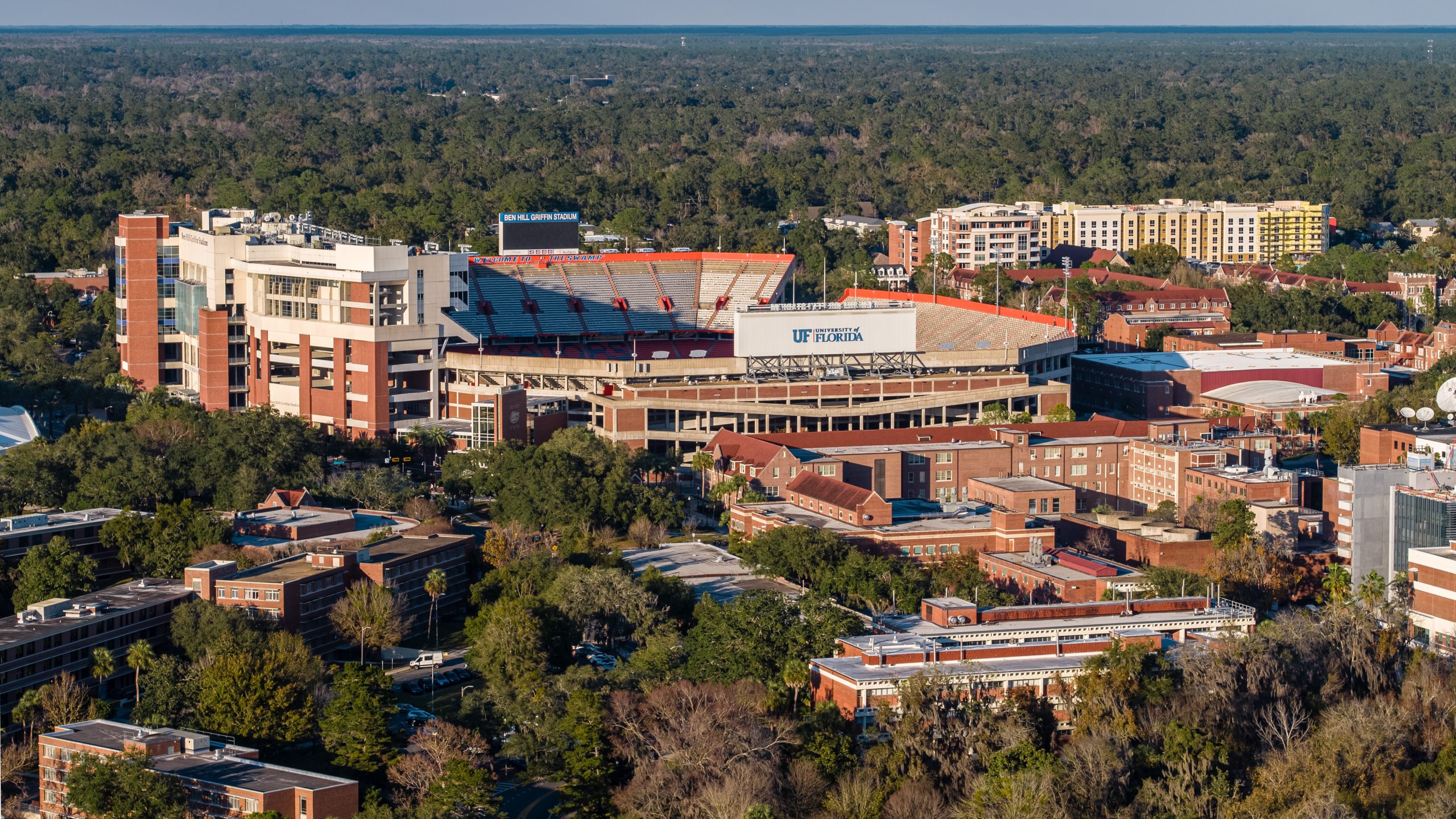
Stunning high-resolution aerial imagery for commercial real estate, property marketing, and business branding. Our FAA-certified pilots deliver list-ready photos in 36 hours or less.
Professional drone aerial photography delivers the same dramatic, perspective-shifting views as traditional helicopter photography—at a fraction of the cost. We format every image for MLS, CoStar, LoopNet, and offering memorandums.
Achieve the same stunning perspective at 10-20% of traditional aerial survey costs while maintaining complete control over timing and deliverables.
Every image is professionally edited and formatted specifically for real estate platforms—CoStar, LoopNet, Crexi, MLS, and offering memorandums.
25-megapixel standard output with 100-megapixel Hasselblad mode available. Crop, zoom, and detail without losing clarity on any platform.
36-hour delivery for edited aerial photos. Rush delivery available for time-sensitive real estate transactions and development announcements.
Strategic aerial photograph of property
Every aerial photography package includes professionally edited, production-ready images optimized for real estate listing platforms and marketing campaigns.
Premium wide-angle perspectives showcasing property context, surroundings, and location advantages for maximum listing impact.
Straight-down nadir perspectives perfect for site plans, development layouts, parking analysis, and infrastructure documentation.
Environmental perspectives showing nearby amenities, transportation access, neighboring properties, and site connectivity.
Full resolution 25MP files (100MP available) delivered in multiple formats: JPG, PNG, and TIFF for print, web, and professional use.
Fast editing and color correction on all images with consistent style and quality. Rush processing available upon request.
GPS coordinates, flight timestamps, and technical specifications embedded in all image files for compliance and documentation purposes.
Professional aerial photography transforms how businesses market properties, document progress, and communicate with stakeholders across industries.
Stunning aerial perspectives for property marketing brochures, investor presentations, and offering memorandums that capture buyer attention.
Eye-catching hero images and property context photos optimized for property websites, digital tours, and virtual showcases.
Share-worthy aerial photography perfect for Instagram, Facebook, LinkedIn, and property marketing campaigns across all social platforms.
Aerial property condition records with timestamped GPS data for insurance claims, property damage assessment, and liability documentation.
Professional aerial imagery demonstrates site scale, development potential, and market positioning in investor decks and pitch materials.
Timestamped aerial records for construction sites, real estate development projects, and compliance reporting with consistent angles and altitudes.
Browse our collection of professional aerial photography projects throughout Gainesville and North Central Florida
We fly the DJI Mavic 4 Pro, the most advanced commercial drone available. Featuring a Hasselblad camera with a Type 4/3 sensor and exceptional stability for perfectly sharp aerial photography every time.
DJI Mavic 4 Pro with Hasselblad camera